
Helping Rural Counties to Enhance Flooding and Coastal Disaster Resilience and Adaptation
A New Perspective to Rural Flood Modeling and other Hazards - focused in the Western Upper Peninsula of Michigan
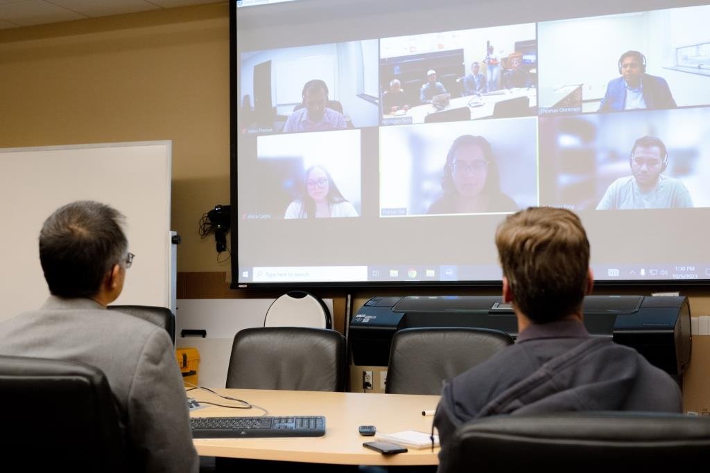
Learn about the project:
Listen to the Thomas Oommen, the project director, speak about the project and how it can help rural communities.
THE TOOLS
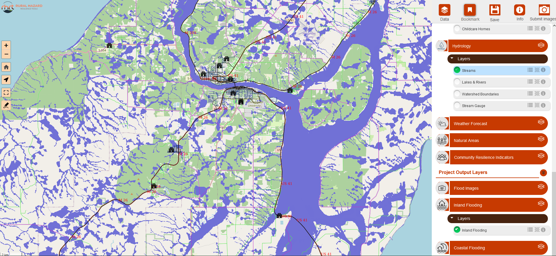
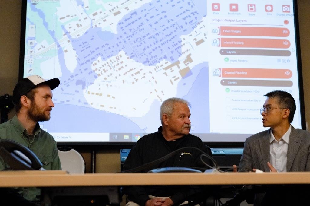
This mapping tool for the Western UP combines infrastructure data and flood map models into one platform with layers that can be turned on and off.
Some layer categories include:
Boundaries (counties, cities, townships, parcels)
Roads
Critical Infrastructure (building footprints, healthcare facilities, schools)
Hydrology (lakes, streams, watersheds)
Community Resilience Indicators
Flooding Models (inland, coastal)
Flood Events Pictures
This platform was designed to help emergency service professionals and other community leaders to make more informed decisions around flood risks. This tool can help influence decisions they will have to make in the case of a flooding event and how this will interplay with the environment both urban and rural.
See the Current Model! - In Development

This flood risk assessment tool simulates flooding by allowing the user to select an area of interest and simulate different flood intensities.
The tool then calculates estimates for the chosen area including the number people effected, farmland flooded, buildings effected, costs of damage, and a number of other factors.
See the Current Model! - In Development
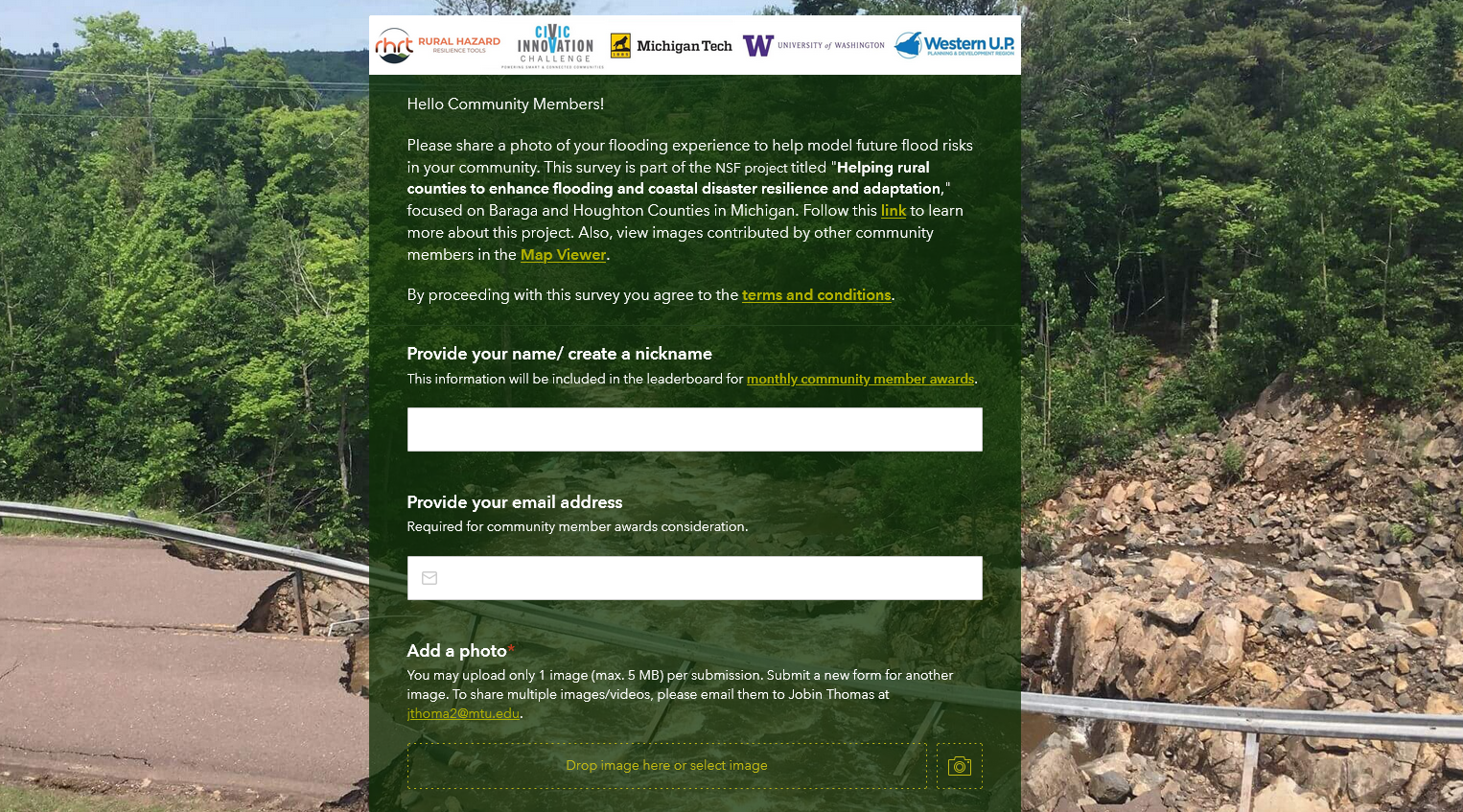
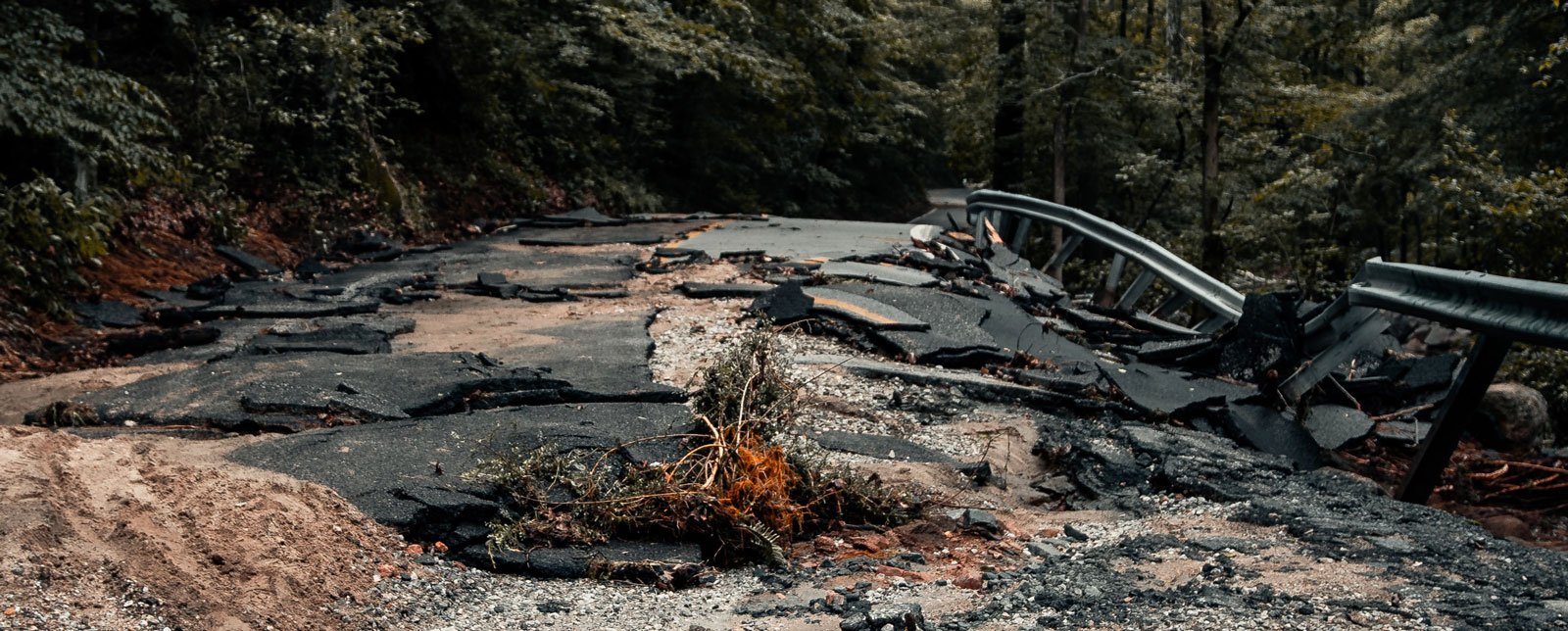
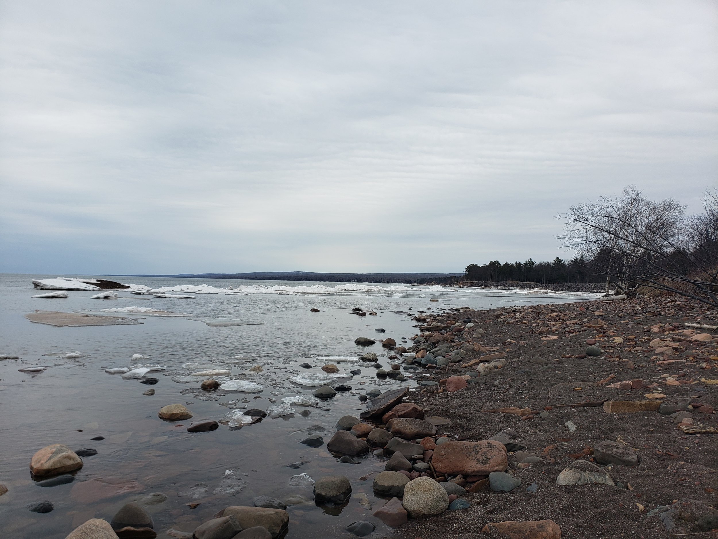
A photo submission app that allows you to upload pictures that double check against the flood models and improve them using machine learning algorithms.
We need your help by uploading your pictures of past flooding to help inform the project! Also keep this tool in mind in the case that you experience or witness flooding in the future.
Submit Your Photos!

Watch this video to learn more about the project, the importance locally and beyond, and learn how you can contribute to our cause to help the Copper Country prepare for the next major flooding event like the Father’s Day Flood. We have a neat tool built, but it needs to be fed data, and we need your help!
Project Goals
As our climate continues to move to more extremes, there has become an increased risk in the frequency of intense storms that have the potential to adversely affect our communities. This project aims to develop tools that can inform emergency managers, local officials, and other community members in rural communities to enhance flooding and coastal disaster resilience and adaptation.


RHRT Impact Potential
In 2018, Houghton County experienced a flood disaster which still to this day has left damage to homes, roads, and trails that many of us use daily. With more than $100 Million worth of public infrastructure damaged, we realized that having the latest tools to prepare and plan for future flooding events could be invaluable. By using advances in technology, crowdsourcing, and state-of-the-art geospatial visualization we are creating a comprehensive tool that will provide the latest flood hazard information to inform the decision makers in our communities.
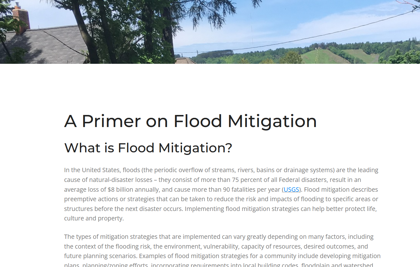
Flood Hazard Primer Page - Learn more about what flood mitigation is and how our platform can help understand flood risk
Support Our Efforts
Michigan Technological University & the University of Washington, together with Civic partner Western Upper Peninsula Planning and Development Region (WUPPDR), are collaborating to develop innovative methods that use remote sensing data resources, freely available geospatial processing service, and community member engagement (crowdsourcing) to address current data gaps for improved flood hazard modeling and enhancing community resilience in rural communities of the Western Upper Peninsula of Michigan. Please take a moment to submit your photos below and take our quick survey. After completion also make sure to check out the current model on our GIS Visualization Tool.
Submit your photos to help with flood models in our area.
These will help improve our hazard managers in the Western UP
Project Disclaimer:
This tool was prepared by Michigan Tech, WUPPDR, and other partner organizations. None of these organizations, nor any agency thereof, nor any of their employees, makes any warranty, express or implied, or assumes any legal liability or responsibility for the accuracy, completeness, or usefulness of any information, apparatus, product, or process disclosed, or represents that its use would not infringe privately owned rights. Reference herein to any specific commercial product, process, or service by trade name, trademark, manufacturer, or otherwise does not necessarily constitute or imply its endorsement, recommendation, or favoring by any agency thereof. The views and opinions of authors expressed herein do not necessarily state or reflect those of these agencies thereof.
Plain Language:
This tool was developed by Michigan Tech, WUPPDR, and partner organizations. None of these organizations—or their employees—guarantee that the information provided is fully accurate, complete, or useful, and they are not legally responsible for how the tool or its content is used. Mention of any specific product, company, or service does not imply endorsement or recommendation by these organizations. The views expressed here are those of the authors and do not necessarily reflect the official positions of Michigan Tech, WUPPDR, or their partners.